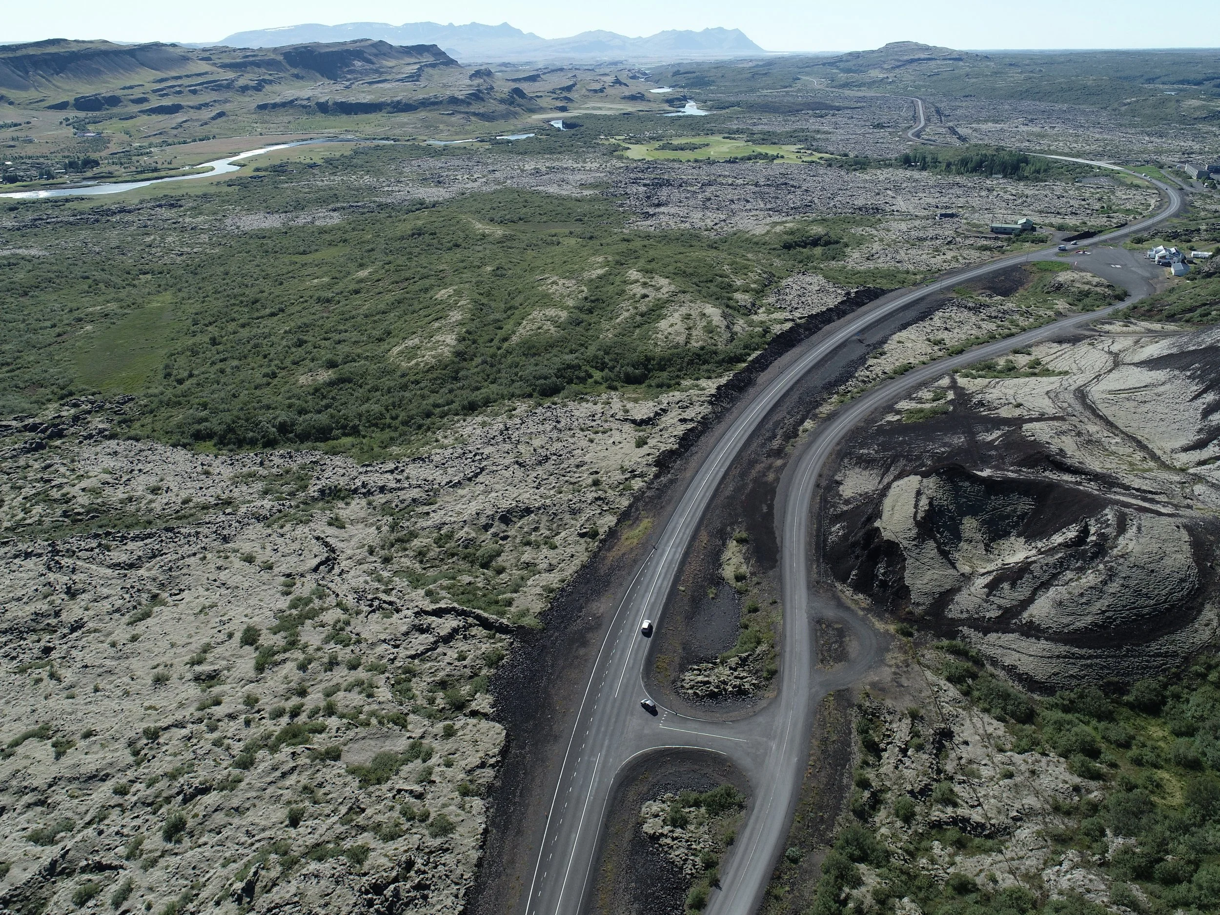
Surveying and imaging solutions for smarter decision making
GPS survey and stakeout | Boundary survey | Construction monitoring | Volumetric measurements | Environmental monitoring
Our services
Our GPS service, aerial mapping and photography service to support your project
High-precision GPS measurements
We use a high-accuracy GPS to accurately measure locations on the ground with a centimeter accuracy which is essential during each construction phase or in order to produce correct georeferenced maps.
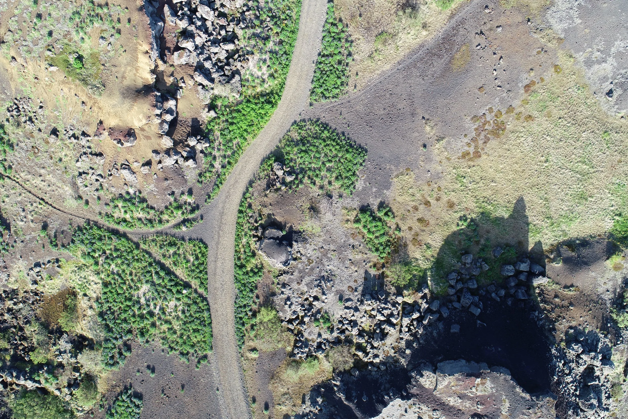
Aerial mapping services for various industries and different level of complexity.
Boundary survey and GPS stakeout
We conduct timely and frequent progress monitoring, asset inspection, volume calculations
Various data outputs on a client’s request for the planning and development stage both in CAD and GIS software
Our typical data outputs
Georeferenced high-resolution imagery
Point clouds
DEM/Contour maps/3D mesh models
Photos and videos